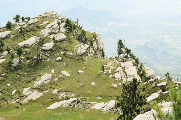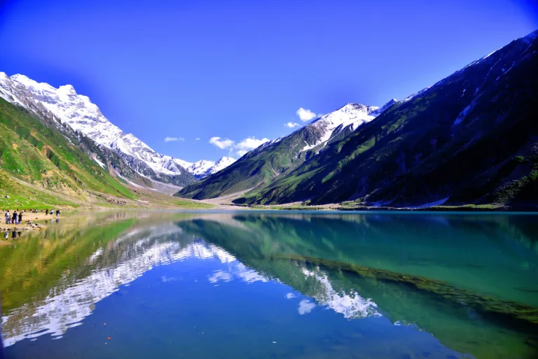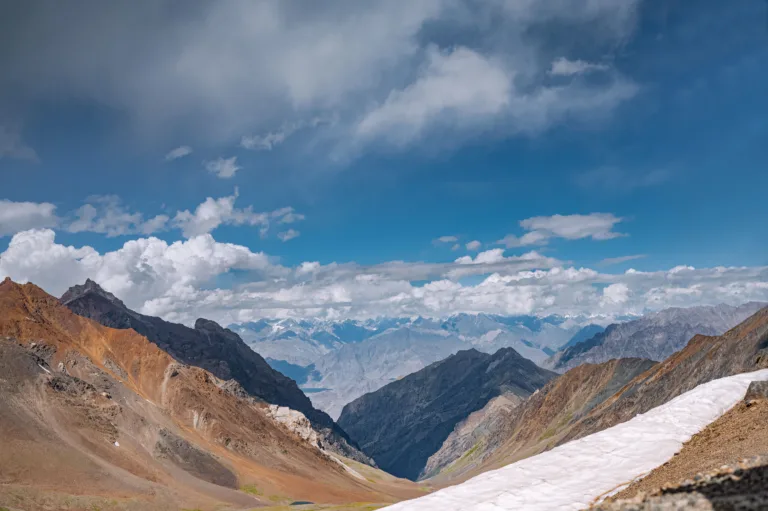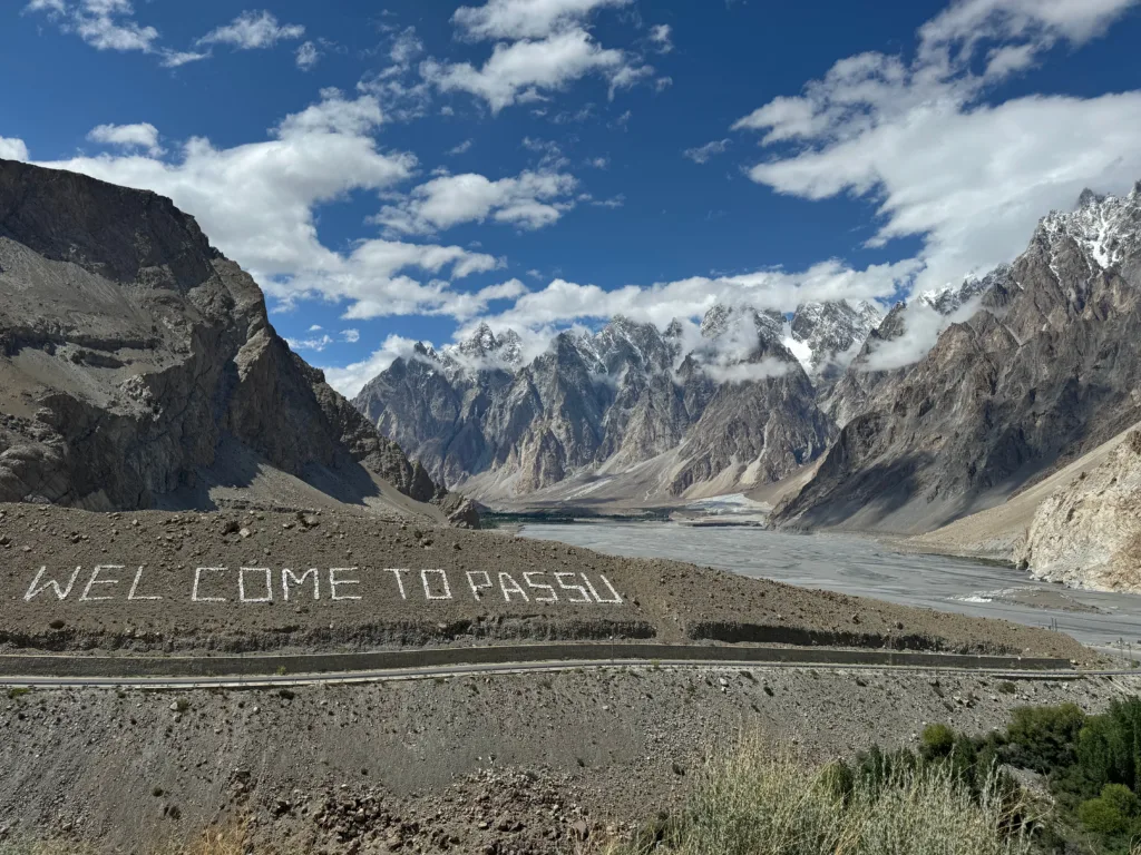
Babusar Top is the short way into Gilgit-Baltistan and the one that is most often shut. Getting a northern trip right is mostly a matter of knowing which of those two facts applies on the week you are travelling.
Where it is and what it connects
Babusar Pass sits at 4,173 metres, or 13,691 feet (Babusar Pass). It is the high point of the N-15, the national highway that runs 240 km from Mansehra to Chilas through the Kaghan Valley, with the last 60 km inside Gilgit-Baltistan (N-15).
That is the whole significance of the pass. It links the Kaghan Valley in Mansehra District to Chilas in Diamer District, and at Chilas you are on the Karakoram Highway. From there Gilgit, Hunza and the turning for Skardu are all straightforward. Without Babusar you have to reach Chilas the long way round, and the N-15 exists largely as a bypass for the KKH (N-15).
The distance from Islamabad
Published figures differ, so here are both.
Taken in stages, Islamabad to Naran is about 280 to 285 km (route guide) and Naran to Babusar Top is about 65 km (Babusar guide), which puts the pass at roughly 350 km from the capital. Taken as one figure, one route guide gives about 410 km and 10 to 12 hours of driving with an overnight in Naran (Babusar guide).
Either way the answer for planning purposes is the same. This is not a day trip from Islamabad. The last 65 km alone take two and a half to three hours, and the descent to Chilas is another 50 km and an hour and a half to two hours of steep downhill (Babusar guide). Almost everyone sleeps in Naran.
When it opens and when it closes
The broad pattern is well documented: the pass is usually closed from November to June because of heavy snow (Dawn). Around the edges of that window the picture is less tidy, and the difference between guides matters.
- Late October to early November — closing. One guide gives late October or early November (Roamistan); in the 2025-26 season the shutdown ran from 28 November (Rozefs).
- December to April — shut. Assume no.
- Mid to late May — the earliest realistic reopening, after the National Highway Authority clears the snow. In 2025 the NHA cleared over 21 glaciers between Naran and Babusar Top in phases before the road reopened on 24 May, seven months after it closed (Dawn).
- June — usually open, but not reliably. See below.
- July to September — the dependable months. One reference puts the accessible window north of Naran at mid-July to the end of September (Babusar Pass); a Gilgit-Baltistan tourism piece gives end of June to October (Aaj).
If you want one sentence: plan for July, August and September, treat late May and June as a bonus, and do not build a trip in October that fails if the pass shuts early.
It reopens, and then it closes again
This is the part most guides skip, and 2026 demonstrated it precisely.
The pass had been shut since 28 November 2025 (Rozefs). It reopened to tourists on 25 May 2026 after snow clearance and road-safety work, with officials advising travellers to drive in daylight, avoid stopping at risky points and check the weather before setting off (Pakistan Today).
Ten days later it was shut again. On 4 June the NHA and district administration closed it completely until 6 June for full snow and glacier clearance. It had been running one-way, and heavy Eid-ul-Azha traffic on narrow snow-lined sections produced congestion and blockages, so machinery needed the carriageway to itself. Traffic was told to use the Dasu route instead, with Police Helpline 15 for updates (APP). Continuous snowfall and debris kept it shut on 5 June (Express Tribune).
So “Babusar is open” is a statement about a day, not a season. A one-way opening is not the same as a normal opening. And in 2026 the reopening date circulating online was 27 May, with travel permitted only between 07:00 and 18:00 (Rozefs) — which is worth knowing if your plan involved arriving at the top in the evening.
The KKH alternative via Chilas
When Babusar is shut, the route to Gilgit-Baltistan is the Karakoram Highway: Hasan Abdal, Thakot, Besham, Dasu, Chilas, then north (Karakoram Highway). The KKH is open year-round, and the Besham–Dasu–Chilas stretch is what you fall back on in winter (Roamistan).
How much longer it takes depends on who you ask, and the honest answer is that the gap is wide. Dawn reports Diamer to Mansehra as seven hours over Babusar against 14 hours on the KKH (Dawn). A tour operator quoted by Aaj put the difference at one to two hours (Aaj). Our planning assumption is that you should budget for a considerably longer day, not a slightly longer one, and that the same source notes there is very little in the way of decent hotels, food or washrooms along that stretch.
For anyone heading further north, this is the route that runs regardless of the pass. Our Islamabad to Hunza car with driver journeys use Babusar when it is genuinely open and the KKH when it is not, and the decision is made on the day rather than at the time of booking.
Road surface and landslides
Neither road is a motorway, and neither behaves like one.
Babusar itself is a narrow mountain road with sharp turns and no guard rails in places, and it is exposed to landslides in wet weather (Babusar guide). Early in the season the specific hazards are glacial melt making sections slippery and loose stone from recent slides on the carriageway (Rozefs). There are no filling stations near the summit and mobile coverage is unreliable, so the last fuel stop and the last confirmed weather check both happen in Naran.
The KKH has a different failure mode. Heavy monsoon rain around July and August causes landslides that can block it for hours or more (Karakoram Highway), and the Kohistan stretch from Besham to Chilas is the usual place (Roamistan). This is not theoretical. On 18 June 2026 landslides and mudflows after heavy rain blocked the KKH in Diamer district between Gunar Farm and Lal Padi near Chilas, along with the Baltistan road near Maloopa. Travellers were stranded for hours, the authorities asked tourists to stay off the highway, and the NDMA had flood and landslide alerts running into the following week (Dawn).
The practical consequence is that a northern itinerary needs a spare day in it. Not because something will definitely go wrong, but because when the road shuts you wait, and a schedule with no slack turns a four-hour wait into a missed flight.
Which vehicle
For the pass itself, a 4×4 or a high-powered vehicle is what you want, particularly early in the season; a standard sedan is not the right car for the sharp turns and steep inclines (Rozefs). When the authorities reopen the route they specifically ask for vehicles in good condition and daylight travel (Pakistan Today).
The reasoning is about the descent more than the climb. Fifty km of steep downhill into Chilas is a brake and cooling problem, and you want engine braking you can rely on, not power. Add ground clearance for the loose stone and a spare wheel you have actually looked at.
Our rule when quoting: if Babusar is in the plan, we put a higher-clearance vehicle on the job, and we say so in the quote. A saloon is fine to Naran and the wrong car past it. The same logic applies to the onward legs — our car with driver to Skardu runs are quoted on the vehicle the road actually needs rather than the cheapest thing that fits the passengers.
Common questions
How far is Babusar Top from Islamabad by road?
Roughly 350 km if you add Islamabad to Naran (about 280 to 285 km) and Naran to Babusar Top (about 65 km); one route guide gives about 410 km for the whole run and 10 to 12 hours of driving. Almost everyone breaks the journey with a night in Naran rather than attempting it in one day.
What months is Babusar Top open?
It is usually closed from November to June for snow, with the National Highway Authority reopening it in mid to late May in a good year. July, August and September are the dependable months. In 2026 it reopened on 25 May and was closed again from 4 to 6 June for further snow and glacier clearance.
What is the alternative when Babusar is closed?
The Karakoram Highway via Thakot, Besham, Dasu and Chilas, which is open year-round. During the June 2026 closure the authorities directed traffic onto the Dasu route. Estimates of how much longer it takes vary widely, so budget for a substantially longer day.
Can a normal car cross Babusar Pass?
It is a paved road, but it is narrow, has sharp turns, lacks guard rails in places and is slippery where glacial melt runs across it. A 4×4 or high-clearance vehicle is recommended, especially early in the season, and a low sedan is a poor choice for the steep descent to Chilas.
Is the Karakoram Highway safe in monsoon?
It stays open year-round but landslides after heavy rain, mainly in July and August on the Besham-to-Chilas stretch, can block it for hours or longer. In June 2026 slides near Chilas stranded travellers and the authorities advised tourists to avoid the highway. Build a spare day into any northern itinerary.
Do you take bookings over Babusar Top?
Yes, when the road is genuinely open. We check the road status before the journey and, if the pass is shut or running one-way, we route via the KKH and tell you what that does to the timings. The vehicle class is confirmed in writing before you travel.